RIVER Conditions
Click this link to view our current river levels.
Click this link to view upstream at Lynnwood – that water will be at Luray in 18-24 hr.
Please call us in advance to get more information on current river conditions and trips
TOO HIGH: 5.6 ft and above
- NO RIVER TRIPS
- Too high and dangerous for any river activities.
HIGH: 3.5 to 5.5 ft
- Cruise with caution
- Trips will be faster than normal. We may lengthen the amount of miles of you trip/and or move it to a different section of river.
- We may only be running rafts and not tubes, canoes/kayaks in the upper part of this range for safety- especially small children and inexperienced individuals.
NORMAL: 2.5 to 3.4 ft
- Ideal river levels
- All of our normal advertised trips are running!
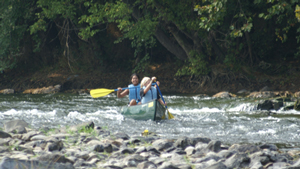
- Check out this example of Paddling Through Compton Rapids at normal water levels
LOW: 2.4 ft and below
- Low but still a go!
- Trips will be slower than normal. We may shorten the miles of your trip and/or move it to a different section of river.
Depiction of Various Water Levels
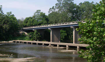
#1 Low Water Bridge-normal water level
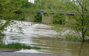
#1 #1 Low water bridge at 5.5 ft
Low water Bridge under water at 8 ft
Compton’s at higher water
Compton’s Rapid at lower water
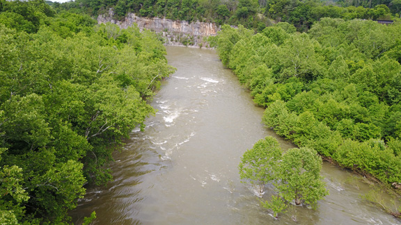
Compton’s rapid and cliff area by drone
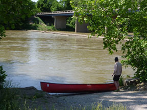
CLEAR-see the bottom
Murky–not see the bottom
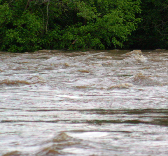
Muddy River
Check out the crazy water levels we had in 2018!